


Instead of
Information scattered everywhere
LocalXP
One living community state
Community awareness for places
A living ecosystem map for your community — the best interface for community awareness.
One Shared Place. Many Perspectives.

LocalXP · 2026
Named to the Scale Up Canada Waterloo 50
Recognized in 2026 among Waterloo Region’s Top 50 most scalable startups.
Businesses, events, road grooming, and detours get announced in scattered places. Communities need an affordable living ecosystem map — resident communication first, engagement tools when programs need turnout.
"Road grooming ran past our driveway and nobody told us when. We found out when we heard the plow."
Rural resident
"We post closures on Facebook. Half the town never sees them. Then we get angry calls anyway."
Municipal clerk
"Our farmers market is on main street Saturday. Visitors ask where it is. There is no one map that shows it."
BIA coordinator
"We have a great downtown. Businesses are invisible online unless they pay for ads. We need one map we own."
Chamber volunteer
Closures, grooming, and events live in Facebook threads, email blasts, and paper notices — not one map residents check.
Businesses, markets, trails, and road work deserve one living scene — not a pin dump or a static directory.
Without scheduled public notice, grooming, construction, and detours surprise people at the driveway or commute.
When a council, funder, or partner asks what happened, staff rebuild the story by hand — instead of exporting it from the map that already ran it.
Why LocalXP
Google owns navigation. Facebook owns conversation. GIS owns analysis. LocalXP owns living community state: what is happening in your town right now.
Instead of
Information scattered everywhere
One living community state
Instead of
Facebook group
Living ecosystem map
Instead of
Static website
Living community state
Instead of
Temporary event map (PDF)
Living overlays on one shared place
Instead of
Separate tourism map
Perspectives on one place
Instead of
Duplicate business directories
Canonical places, referenced once
Instead of
One organization owns the data
Shared stewardship across operators
One Shared Place. Many Perspectives.
Featured in & building with


Design your community on the map, schedule what residents see, share one public URL — and export a record only when partners ask.
Author a dynamic smart map with geometry, layers, and your branded experience
Schedule grooming, closures, events, and signals so residents see notice on the map
Residents open your branded map for notice — closures, grooming, events, and signals. Optional capture when a program needs proof.
Timeline and exports when councils or partners ask for a record
Author a dynamic smart map with geometry, layers, and your branded experience
Schedule grooming, closures, events, and signals so residents see notice on the map
Residents open your branded map for notice — closures, grooming, events, and signals. Optional capture when a program needs proof.
Timeline and exports when councils or partners ask for a record
Shared geography
Different organizations operate different layers on the same living map — municipality, utility, BIA, tourism. Shared geometry where it helps. Separate perspectives where it matters. Schedules and signals update in time.
Shared basemap
One city footprint · street & terrain
Shared geometry
Place creator
BIA or municipality
Buildings · paths · POIs, shared once
Shared geometry
142
Buildings
64
POIs
Utility
Utility operator
Customers & residents
Outages · field signals
Operator dataset
12
Live signals
2.4k
Outage reports
Municipality
Public works
Residents & ratepayers
Roads · civic notices
Operator dataset
286
Civic assets
1.2k
Resident reports
Downtown
Downtown BIA
Visitors & tourists
Listings · market overlay
Operator dataset
218
Listings
Sat
Market day
One geography · resident notice on the public map · optional engagement when programs need it
 Layer operator
Operate poles, transformers, outages, and field signals on the shared city footprint. Map-first branded PWA for customers and residents.
 Layer operator
Operate roads, sidewalks, grooming windows, and public notices on the same geography. Residents see schedules before plows and crews arrive.
 Layer operator
Operate business listings, shop-local programs, and event overlays. Your audience, your branded experience, credited dataset.
Community, Event, Trail, and Signals are workspace templates for the same ecosystem — businesses, programs, corridors, and resident notice on shared geography.
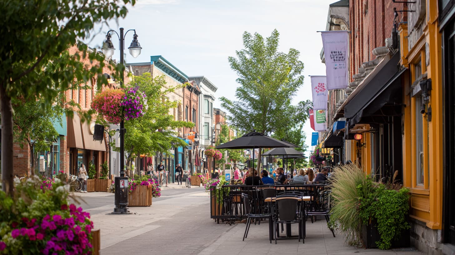
Your town ecosystem: businesses, POIs, paths, resident notice, and long-lived programs on one public map.
Learn more
Time-bounded overlay on a base place with venues, booths, vendors, and branded event PWAs.
Learn more
Linear route workspace with waypoints, status, and optional seasonal programs along a corridor.
Learn more
Operational map workspace for outages, incidents, closures, and verified field reports on shared geography.
Learn moreBusinesses
A business can appear on a downtown map, a weekend market, a festival overlay, and a trail program without rebuilding four listings. Maintain hours, deals, and your pin once. Each organization platform pulls from the same profile.

Main Street Bakery
Bakery · Cafe
142 Main Street, Brussels ON
1
Profile to maintain
4+
Platforms joined
Downtown BIA
Shop-local program
Main Street smart map
Main Street Market
Weekend vendor zone
Event overlay · Sat 9–2
Summer Festival
Seasonal activation
Branded festival PWA
Huron Trail
Corridor checkpoint
Trail rewards program
One business profile · many organization platforms · update once, appear everywhere
Operate
Map the place, schedule what residents see, run signals and corridor ops, and add optional capture when a program needs proof.
Resident map
Closures, grooming windows, market days, trail status, and signals on one branded public scene. Optional verified capture when an organization runs a shop-local or event program — not the default experience.
When you need proof
Point camera at checkpoint QR
Optional program capture
Scan or check in at a place · GPS-verified when needed
One capture writes to universal_checkins — XP optional
QR
Scan
GPS
Verify
Optional
XP
Participant
Optional reward
Scan when a program is running
XP only if your org enables it
Resident map first
Daily utility
Check closures and events before leaving
No account required for public notice
Operator
When programs run
Verified check-ins, not guesses
Exportable record when partners ask
Living map
Same geometry
Notice on the map before capture matters
Places persist · programs are temporary
Living map first · optional capture when programs run · XP is a single feature, not the platform
Report
Residents already saw the notice on the map. Operators keep timeline, locations, and exports when a council, partner, or grant asks what happened.
Public transparency first. Documentation when it matters.
Explore reportingImpact Report
Summer Market · Q2 2026
Verified actions
486
Unique visitors
214
Top location
Main St
Program trend
+18%
Exportable summary when partners or grants ask for a record
Built to be affordable for small communities and BIAs — not enterprise GIS pricing.
Publish businesses, events, closures, and community awareness on a branded public map. Turn on optional programs when you want foot traffic proof — not before.
Guided pilots available now. Subscriptions opening soon.